Why fire first
The deciding variable of fire is the best-documented case of the pattern.
The moisture inside the fuel is the most important predictor of fire activity, and no observation-based product of it exists. Every company in the market works around the missing variable: it detects a fire once it exists, hardens assets against one that might come, or scores the risk that one could. None can say when. PRIMER is the first product that can accurately predict a ground truth, and fire is where the method proves itself.
The training ground
The gap in the market is not a gap in ideas. It is a gap in ground.
Training a model that predicts the date of fire needs three things at once: continuous measurement of the fuel at a density that resolves a landscape, a very large number of fires beside those measurements, and the freedom to light fires deliberately when the model is missing a case. A satellite company can buy more satellites. Neither it nor a risk company can buy fire frequency, or the right to burn.
Pyrome holds exclusive, long-term rights across all 761,852 hectares of its training ground, for instrumentation, aerial survey, controlled burning and data collection, with its own team on the ground running the instrument network and the burns to the model's design. It is the only landscape on earth where the fuel is measured beside the fire at this scale, and it is why the ground-state learner can be trained at all.
761,852 ha
One contiguous training ground, secured to Pyrome across its entire area.
~400,000
Labelled fire events a season. Comparable US conditions produce about 16,000.
20,000,000 ha
The land you would need in the United States to collect the same data.
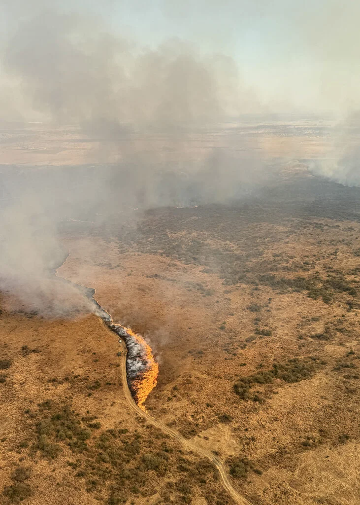
Designed burns
We can light it ourselves, so the dataset compounds.
A natural fire regime gives the model volume; designed burns give it coverage. We choose the fuel state at which to ignite, and measure the fuel before, the behaviour during and the severity after.
Each season's model reports where its uncertainty is largest, and the next season's burns target those conditions. The instruments stay in the ground, so the matched dataset roughly doubles every year.
Five rules that hold across everything we publish and sell.
01
We measure. We do not estimate.
The variable that decides fire is measured in the fuel, hourly.
02
Accuracy beside every forecast.
Scored on outcomes the model did not see, reported whether targets were met or not.
03
We are a technology provider.
No insurance risk, no policy, no claim. We supply the date, the case and the coordination.
04
We say what the product is not.
Not detection. Not a risk score. Not a spread simulator that waits for a report.
05
The method is the company.
Fire first. Flood and storm follow, on the same playbook.
The name
pyrome (n.) a fire-regime region; a zone that burns in a characteristic way.
The term was defined by fire scientists working on the same southern African ground we train on. It names the output rather than the input. We do not sell sensors or soil data; we sell a characterisation of how a given piece of ground will burn, and when.