What comes out
Four values per hectare, per day.
Most hectares on most days carry no date inside the horizon, and the forecast says so. The value is concentrated in the few that do.
Date
The day the probability of fire crosses 90%, with a window that narrows as it approaches.
Intensity
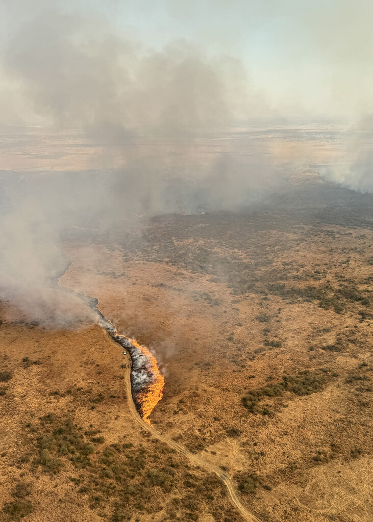
Flame length and damage class along the path, under the forecast wind.
Path
Direction and rate of spread, and the structures, lines and assets inside it.
Loss
The insured value in the path and the modelled loss, from your own exposure data.
How it works
Two coupled learners, trained on ground truth.
The ground-state learner is an Earth-observation foundation model fine-tuned on millions of hourly ground-truth labels: it predicts what the instruments measure from what orbit and weather show. The fire learner turns the fuel-state trajectory, forecast weather and terrain into the daily probability of ignition, spread and intensity.
Ground truth
The only fuel condition never monitored, measured in the fuel, every hour.
A satellite sees greenness and canopy water; neither is fuel moisture, and the variable that gates ignition cannot be retrieved from orbit at all. Our instruments stand in the fuel and weigh, scan and log it continuously, on the same standard the agencies' own samplers use.
Once the mapping from orbit to ground is learned, the sites become reference points rather than prerequisites. That is what makes PRIMER portable: a new region needs satellite data, a handful of reference sites and a season of observation.
The date
A trajectory, not a snapshot.
When a band of fuel enters decline, PRIMER projects the trajectory against forecast weather, integrates the daily hazard and reports the day the cumulative probability of fire crosses 90%. The window narrows as the day approaches and as each season's scoring tightens the model.
The model predicts receptiveness and behaviour, not the human decision to strike a match, which is why the output is a probability and a window rather than a day.
In the platform
Every parcel, its days to 90%, the path, the loss and the accuracy behind it.
For a parcel with a date the platform plays the fire through before it exists, and sets beside it the interventions available inside the window and the loss each avoids. The decision to act becomes arithmetic. As the season runs, the burns that did occur are shown against the forecasts that preceded them.
API
Into the rating engine, the outage system or the dispatch board.
Dashboard
Every parcel on the hectare grid, with the season scored.
Alerts
At 14 and 7 days, to the people and systems that act.
Validation
We report accuracy the way a customer would test it.
Scored on hectares withheld from training and on burns the model did not see. Targets are set before each season and held by an independent science board. A model that misses them is a finding to report, not to hide.
Date accuracy
Ignitions that fall inside the forecast window.
Lead time
Days between the first window and the ignition.
False-positive rate
Dated hectares that did not burn.
Ground-state accuracy
Predicted fuel state against instruments held out of training.
What PRIMER is not. Not a detection product. Not a risk score. Not a spread simulator that waits for an ignition report. Not a replacement for your catastrophe model: it supplies the one input the model lacks, and reports in the model's own metrics.