What a date is worth depends on who holds it
The gap
Everyone models risk. Nobody predicts fire.
Detection starts its clock at ignition. Hardening is applied everywhere because the mile that will ignite cannot be named. Risk scores rank places over a season and never become a prediction, because they lack the one input that changes every day: the state of the fuel.
Ground truth
The one fuel condition nobody monitors decides every fire.
Fuel moisture is the most important predictor of fire activity, and it has never been measured at scale. Every model in use estimates it from orbit. PRIMER learns it from instruments standing in the fuel, hourly, and predicts it for every hectare.
Fuel state is a trajectory, not a snapshot. PRIMER projects it against forecast weather, integrates the daily hazard, and names the day the probability of fire crosses 90%.
Inside PRIMER →The training ground
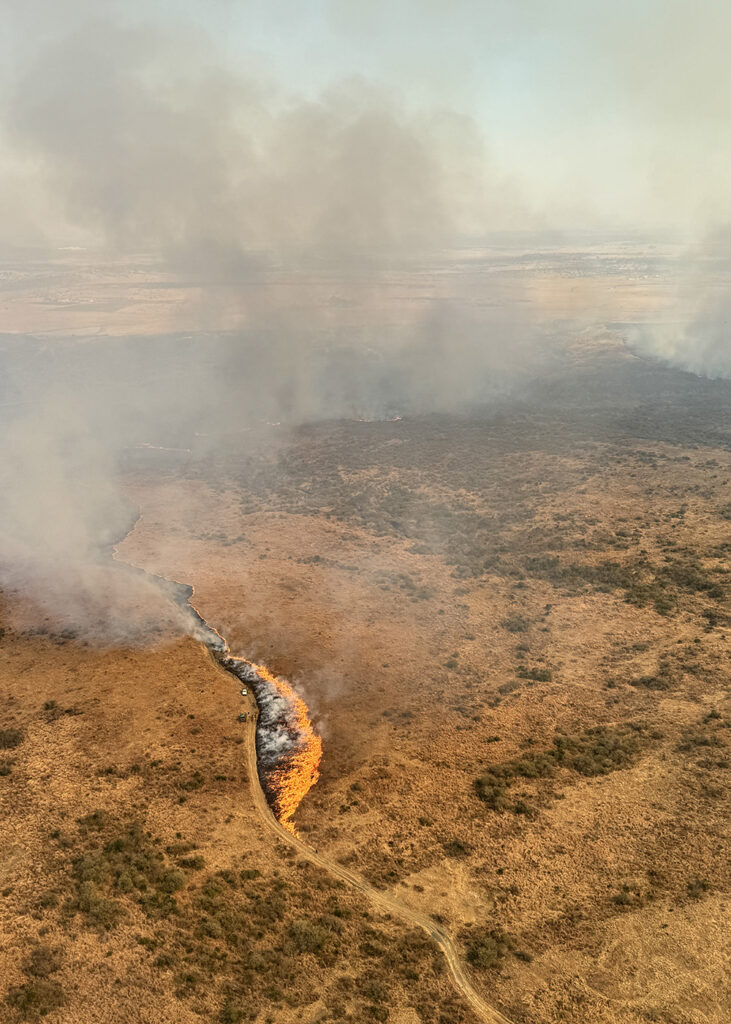
761,852 hectares under instruments and controlled burns.
One contiguous training ground, secured exclusively to Pyrome across its entire area, with our own team on the ground measuring the fuel and lighting the fire. It yields around 400,000 labelled fire events a season. Comparable US conditions yield about 16,000.
To collect the same data in the United States you would need 20 million hectares. That is the data moat, and it exists only because of the land.
About the training ground →How it works
From measured fuel to a date.
Two coupled learners. One learns what orbit can see of the ground truth. The other learns how ground truth becomes fire.
01
Ground
Instruments standing in the fuel measure what no satellite can retrieve, every hour.
02
Orbit and weather
Satellite, weather and terrain layers observe every hectare in the region.
03
Model
A ground-state learner maps orbit to ground truth. A fire learner turns ground truth into ignition, spread and intensity.
04
Output
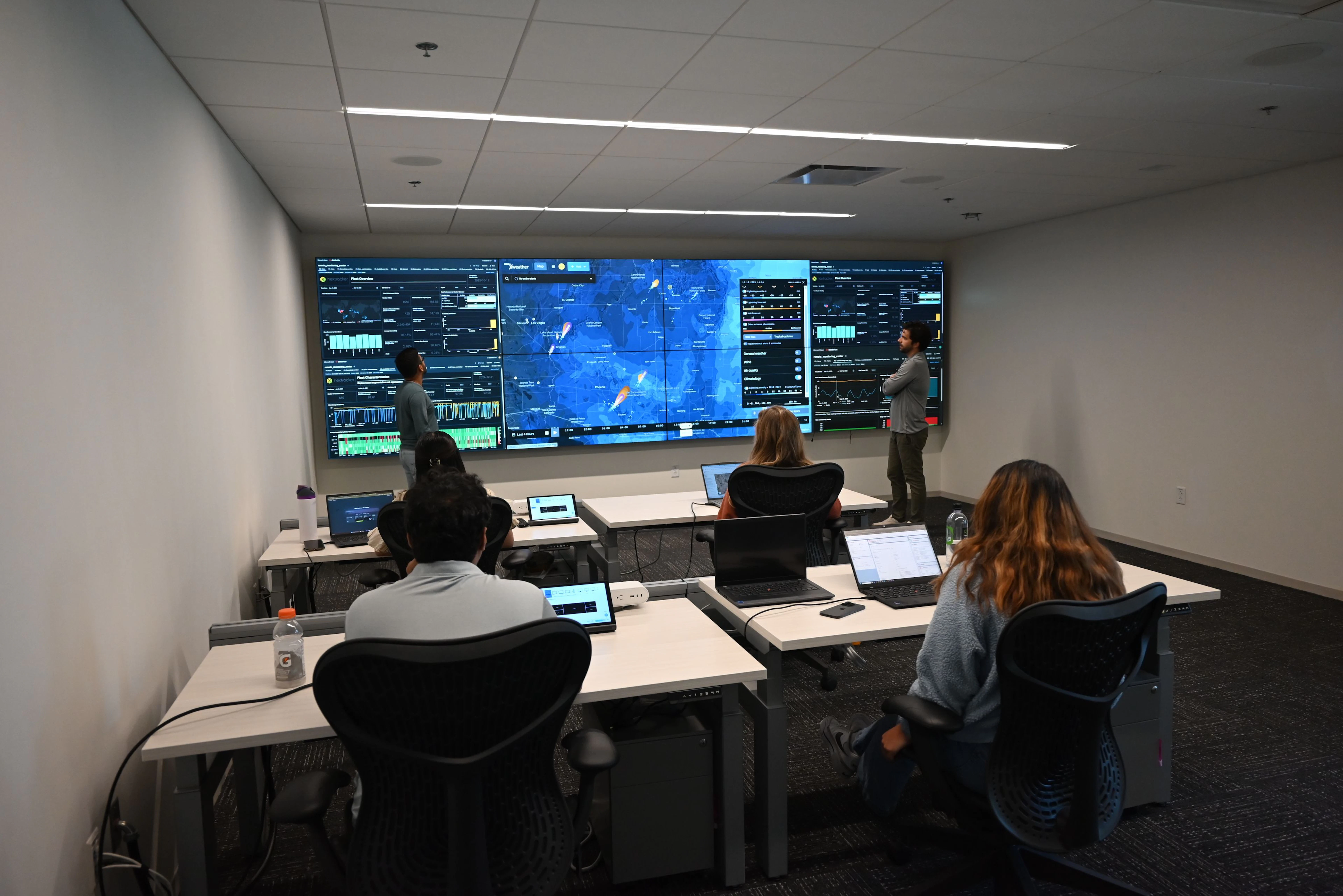
A date, an intensity, a path and a loss for every hectare, every day, with accuracy beside it.
Products
One model. A plan to act on it. A method that moves to the next hazard.
We report accuracy the way a customer would test it.
Hit rate, lead time and false-positive rate, scored on outcomes the model did not see, shown beside every forecast. Most hectares on most days carry no date inside the horizon, and the forecast says so.